
Menu
Collect soil samples accurately based on analysis of multi-year satellite images.

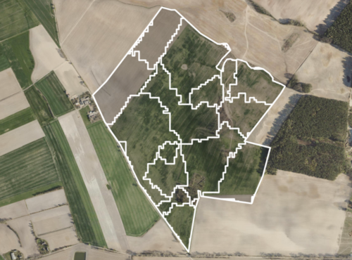
A map of the field, which is created on the basis of historical satellite images.

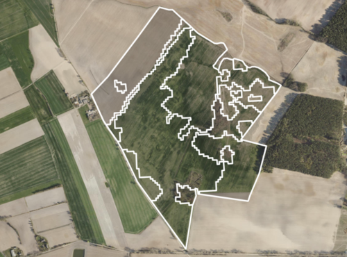
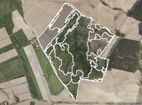
We divide your field into areas of poor and good biomass growth.

We provide a ready-made, precise map for soil sampling.
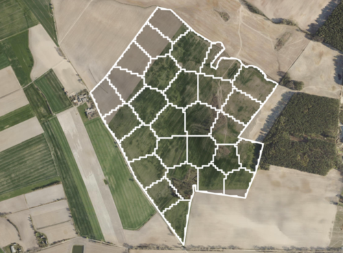
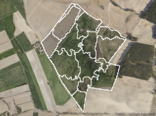

Quick Zones is a service that generates a field productivity map.
The map shows significant differences in vegetation index values, which are used to determine soil sampling locations.

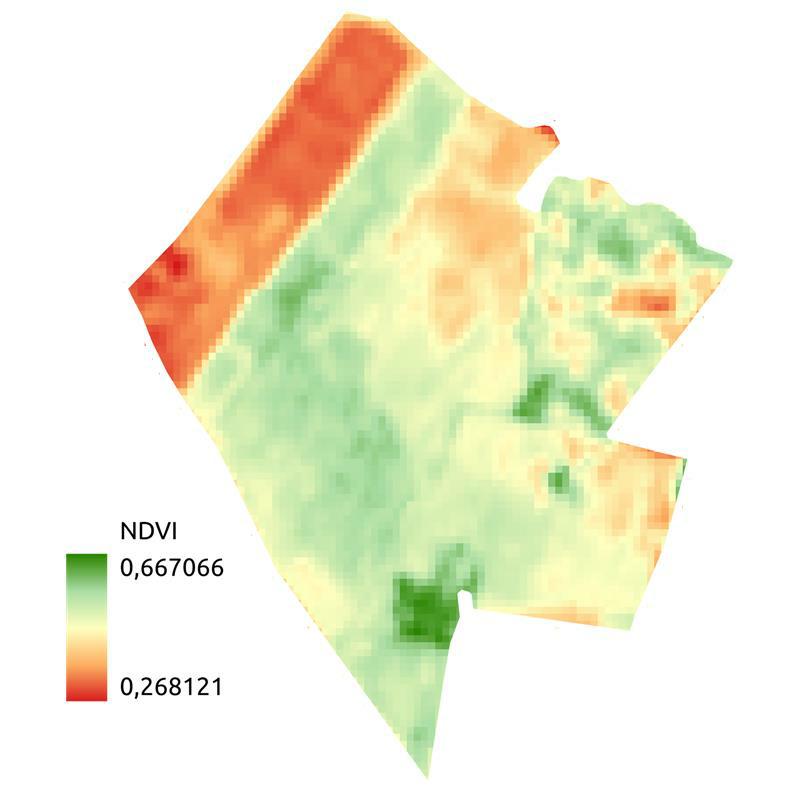
In the image below, we show an example of a field analysis, based on historical satellite images from 6 years.In green we see the areas where it yielded the best, and in red where it yielded the least.
Historical analysis of customer field productivity in minutes
Increased accuracy of soil sampling zone delineation
File compatible with GIS software
Additional information in the context of variable fertilization


QZ Solutions Sp. z o.o.
ul. Technologiczna 2
45-839 Opole
NIP 7543181251

