

About AgriCEM
AgriCEM is a Sentinel Users Preparation (SUP) project co-funded by the European Space Agency. The project runs from November 2024 to October 2026, coordinated by OHB System AG, with the University of Twente ITC, Luxembourg Institute of Science and Technology (LIST), QZ Solutions, and KWS as Champion User.
The project has one central objective: to get science and industry ready for two upcoming ESA satellite missions before they launch in 2028, CHIME and LSTM.
CHIME and LSTM: what is coming
CHIME – the Copernicus Hyperspectral Imaging Mission for the Environment – will deliver hyperspectral imagery across more than 200 spectral bands at 30-metre resolution. This level of spectral detail allows algorithms to detect crop stress signals and soil composition that multispectral sensors cannot resolve.
LSTM – the Land Surface Temperature Monitoring mission – will deliver high-frequency thermal infrared data at 50-metre resolution, enabling precise tracking of water stress and evapotranspiration across agricultural areas.
Both missions are planned for launch in 2028. AgriCEM is building the algorithmic foundation for using them operationally from day one.
How the project works: from field to simulation
Producing algorithms for CHIME and LSTM before the satellites exist requires simulating what they will see. AgriCEM combines vegetation modelling with satellite instrument simulation to generate synthetic imagery that closely mimics what CHIME and LSTM will actually deliver, allowing retrieval algorithms for vegetation stress, land surface temperature, and evapotranspiration to be developed and tested years before launch.
The role of QZ Solutions: field data as the foundation
The quality of any simulation depends entirely on the accuracy of its inputs. For AgriCEM, those inputs are field measurements collected at real agricultural sites, and this is the work QZ Solutions does.
Our team collects spectrometric reflectance measurements and physico-chemical plant measurements at sugar beet fields in Poland, throughout entire vegetation seasons (across multiple growing seasons, in fact). The spectrometric data captures how the crop reflects light across hundreds of wavelengths under real growing conditions. Together, these measurements parametrise the vegetation model, determining how it represents the specific crops and conditions present in the study areas.
Study areas within AgriCEM cover three countries: Poland, Italy, and Germany. QZ Solutions is responsible for the Polish sites.
“The quality of satellite-based algorithms depends directly on the quality of reference data collected in the field. This is the work we do at QZ Solutions, season after season.”
Zbigniew Kawalec, CEO, QZ Solutions
Midterm review: looking back
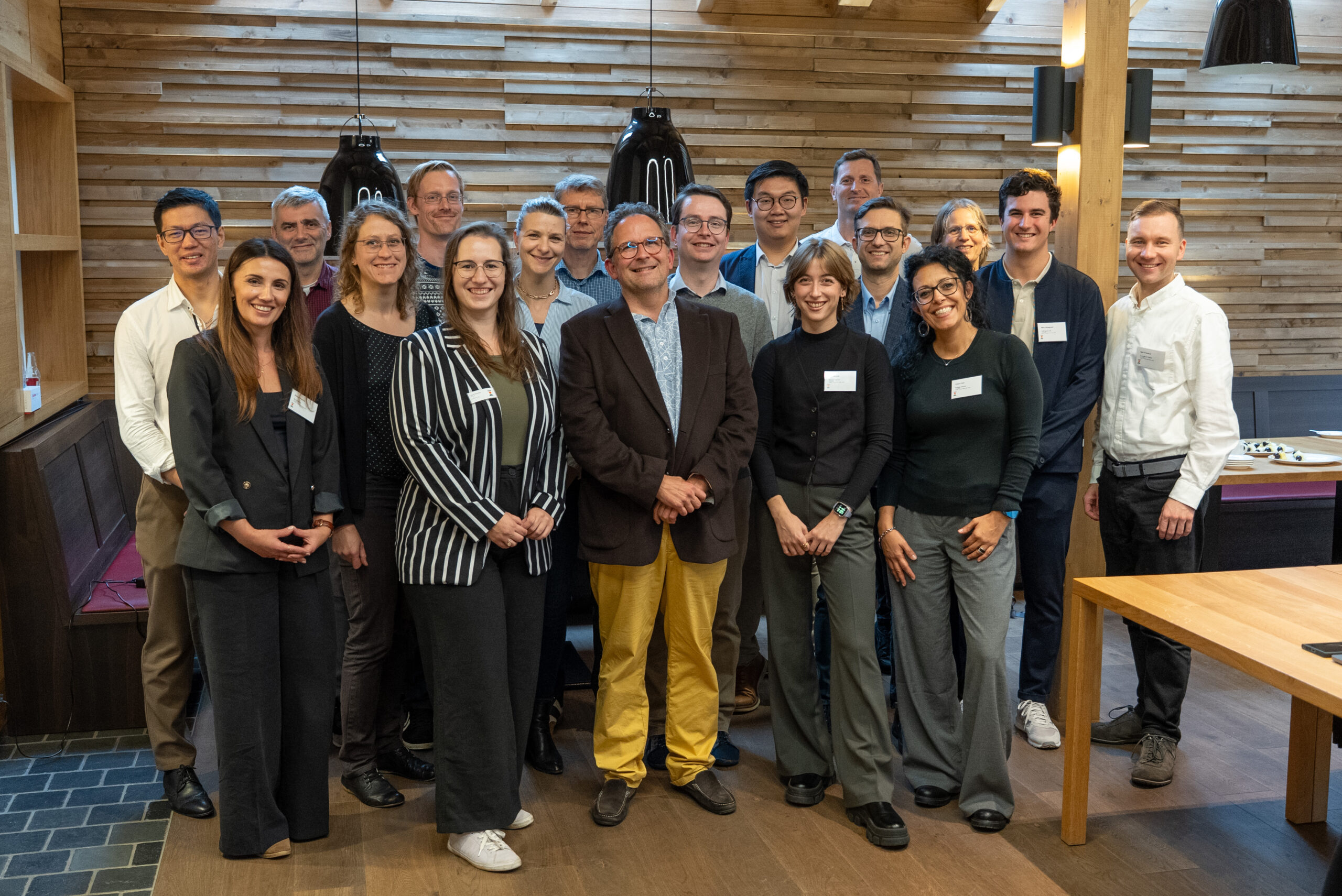
Held in November 2025, the AgriCEM midterm review brought together the project team, ESA representatives, and end users to assess progress and align on the project’s final phase. Videos from the review, including an interview with QZ Solutions CEO Zbigniew Kawalec, are available on the EO ASCENT YouTube channel.
What comes next
AgriCEM runs until October 2026. In its final months, the project is completing the algorithm development phase, producing validated retrieval methods for vegetation biophysical and biochemical traits, land surface temperature, and evapotranspiration, and preparing them for operational deployment once CHIME and LSTM data becomes available.
The generated synthetic imagery and the resulting algorithms will be made available to the scientific community and to stakeholders working in precision agriculture and environmental monitoring.