

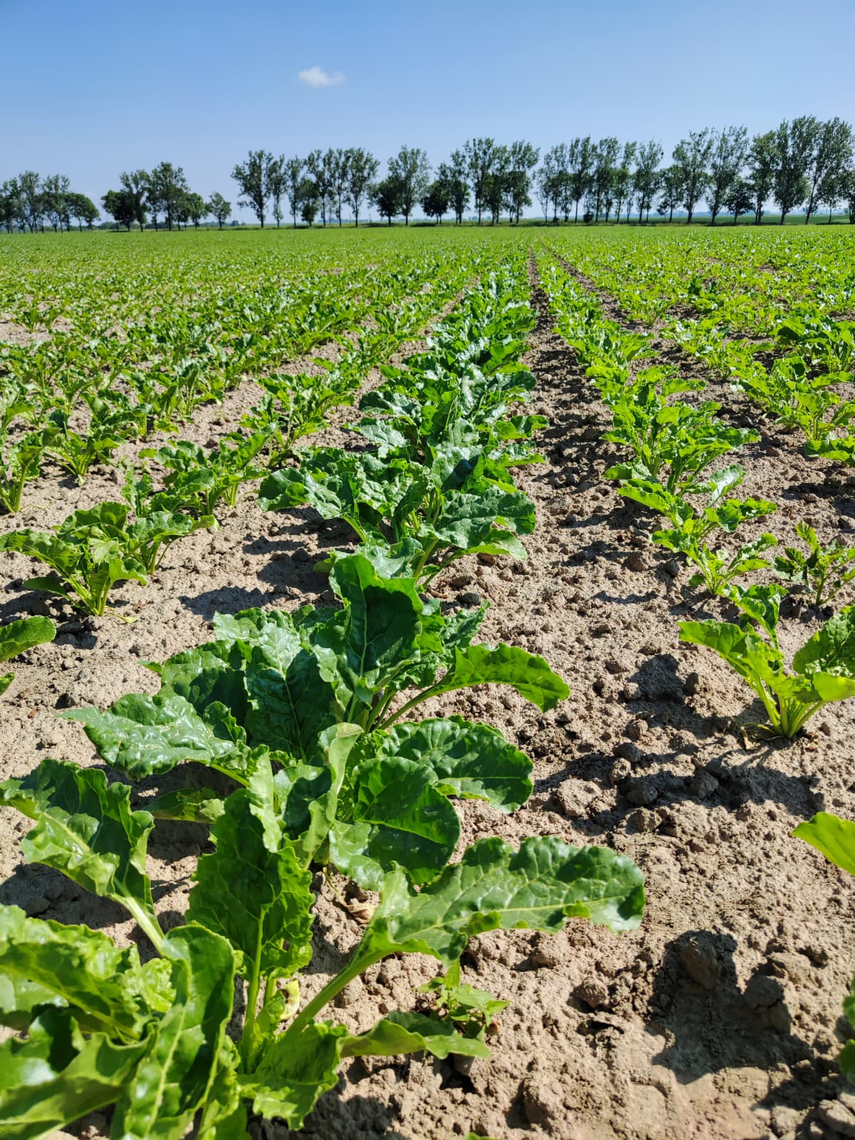
Our 2026 field measurement campaign is complete.
This season, the QZ Solutions team worked at sugar beet sites in Poland, collecting in-situ data through field spectrometry and plant-level observations. Plot by plot and plant by plant, the campaign combined spectral measurements with detailed observations of crop development.
Here is a closer look at what happened in the field.
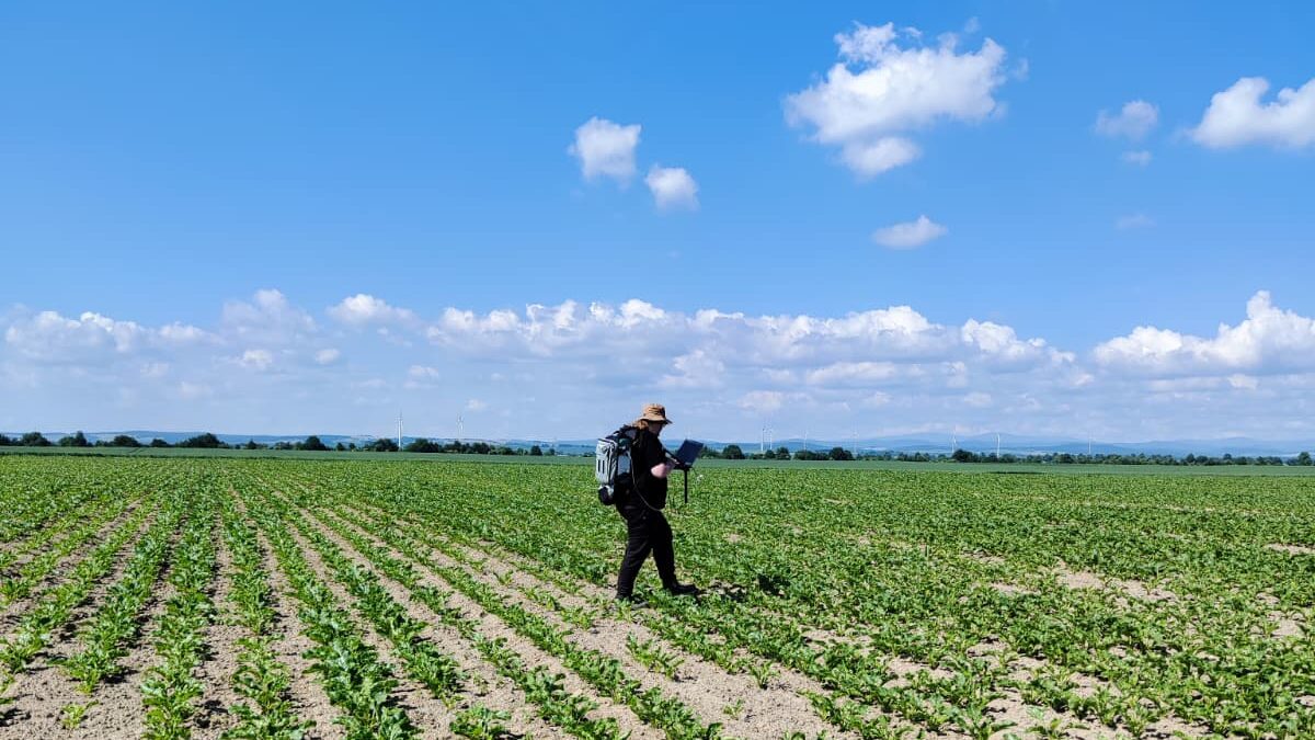
Walking the transect
Each plot was measured along a fixed transect using an ASD FieldSpec 4 spectrometer connected to a backpack unit.
As the operator moved row by row, the instrument recorded reflectance across hundreds of wavelengths, building a spectral representation of the whole plot rather than relying on a single point measurement.
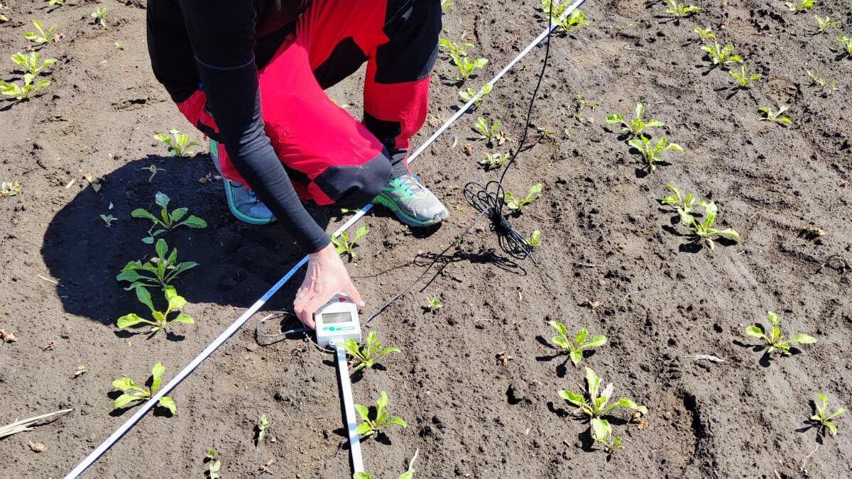
Every plant checked
Alongside the spectral measurements, individual plants were inspected and measured by hand. Leaf development was recorded against a physical scale, providing detailed observations at plant level.
These close-range measurements complemented the spectral data collected across the plots and provided ground reference information for interpreting hyperspectral observations.
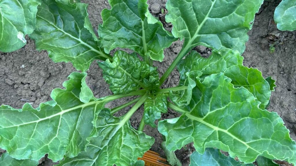
From field measurements to Earth Observation
The field campaign may be complete, but the work with the collected data continues.
In-situ measurements like these provide ground reference data for interpreting hyperspectral observations and for developing and validating methods used in agricultural Earth Observation. This type of field data collection supports the work we carry out across both ESA-funded and commercial projects.
This season’s campaign was also made possible with the support of The Institute for Ecology of Industrial Areas (IETU). Thank you to the IETU team for their cooperation and support in the field.
For QZ Solutions, field campaigns are an important part of connecting what we observe on the ground with what satellites record from orbit – turning detailed field measurements into data that can support Earth Observation applications in agriculture.