

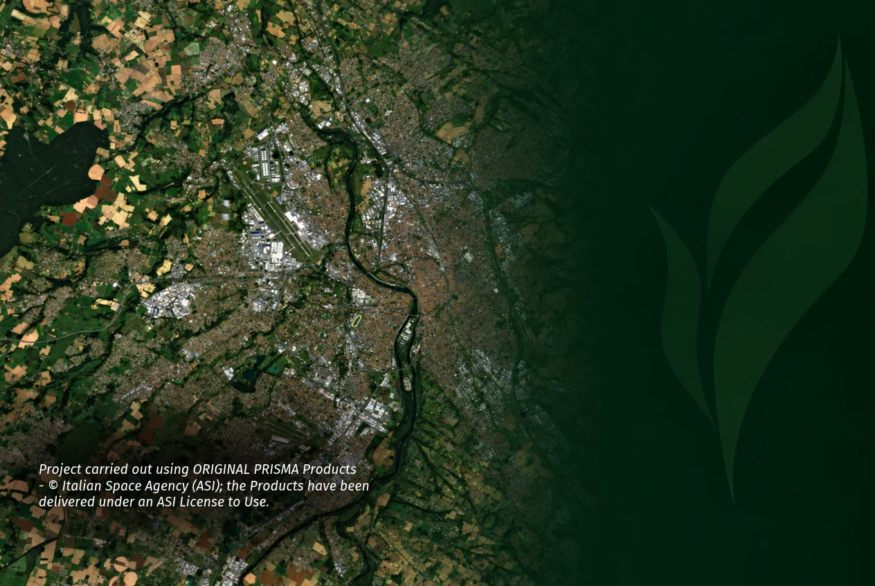
The more spectral information a hyperspectral instrument captures, the less spatial detail it can usually provide. In the case of the Italian PRISMA mission, one pixel represents 30 metres on the ground. At that scale, a single pixel may contain several different objects, crops or parts of neighbouring fields.
So the question behind AURORA was simple:
Can we recover more spatial detail from hyperspectral imagery without changing the satellite itself?
Together with KP Labs, we spent twelve months testing exactly that.
AURORA: hyperspectrAl image sUper-ResolutiOn trained with Real-world dAta, was co-funded by the European Space Agency (ESA) and has now been completed. The project set out to reconstruct PRISMA imagery at three times finer spatial resolution and, more importantly, to find out whether that extra detail actually makes the data more useful.
Three times the detail, from the same orbit
AURORA reconstructed imagery recorded by the PRISMA and EnMAP satellites, from 30 to 10 metres per pixel. The additional detail is computed rather than optically captured, so nothing changes in orbit.
This is what super-resolution reconstruction does: it uses information already present in the imagery to estimate spatial detail that is not resolved in the original image. But how that reconstruction is trained matters.
Most super-resolution models are trained on artificially blurred images. A sharp image is deliberately degraded, and the model learns to reverse that degradation. This approach is useful for developing and testing models, but real satellite imagery does not behave like a perfectly blurred image. A method that performs well on artificially degraded data may therefore behave differently when applied to actual satellite observations.
AURORA took a different approach. The model was trained on real imagery from the satellite, making the process more demanding but allowing the reconstruction to be tested on the type of data it is ultimately intended for.
There is also a fundamental limit. If reconstruction is pushed too far, a model can produce detail that looks convincing but is not supported by the original measurement. In Earth observation, where reconstructed data may be used to support real-world analysis, that distinction matters.
PRISMA provides an important reference for the reconstruction. Alongside its hyperspectral measurements, the mission records a panchromatic band at six times finer spatial resolution. This higher-resolution information helps the model learn how additional spatial detail can be reconstructed.
But the goal of AURORA was not simply to produce a sharper-looking image.
The important question was whether that additional detail could make hyperspectral data more useful in practice.
From image quality to practical use
To answer that question, AURORA was tested through three real-world use cases covering two application areas: agriculture and urban monitoring.
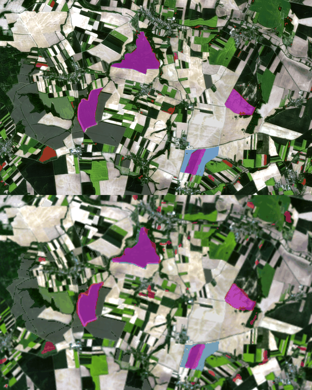
Two of the use cases focused on agriculture. Together with Top Farms Group, we looked at field boundary delineation. With ARMA, Poland’s Agriculture Restructuring and Modernisation Agency, we looked at agricultural subsidy compliance monitoring, including crop classification.
This is where the spectral richness of hyperspectral data becomes particularly relevant. Different crops have different spectral signatures, and the additional spectral information can help distinguish between crop types. This also connects directly with SELMA, our ESA-co-funded project focused on crop classification, where we combine multispectral data from Sentinel-2 with hyperspectral data from EnMAP.
The third use case, developed with MGGP Aero, focused on urban space classification. Here, the objective was to distinguish between different types of urban surfaces, such as buildings, roads and vegetation, using hyperspectral imagery.
The aim was not simply to compare how the images look. We wanted to see what happens when reconstructed imagery is used for a real task.
And the answer was not the same in every case.
The project showed that the value of suuper-resolution reconstruction technique
depends on the application. In some cases, additional spatial detail made features visible that were difficult to distinguish in the original 30-metre imagery. In others, improving spatial resolution alone was not enough to improve the final result.
That distinction matters.
A sharper image does not automatically mean a better decision. The usefulness of reconstructed hyperspectral data also depends on the task and on the data used alongside the imagery.
What comes next?
Completing AURORA also highlighted the next challenge: adapting the approach to different hyperspectral data sources and future satellite missions.
This opens the way for further work on how hyperspectral data can support practical applications, particularly in agriculture.
More detail was only the beginning
AURORA started with a technical question: can hyperspectral imagery recorded at 30 metres be reconstructed at 10 metres?
The project showed that we can.
But the more important question is how that additional detail can be used in practice. For us, this is the key takeaway from AURORA: not simply how to make hyperspectral imagery sharper, but how to turn better spatial detail into useful information.
We thank Marek Wiciak of Top Farms Group; Rafał Sobczak of ARMA; Łukasz Sławik and Dominik Kopeć of MGGP Aero for their contributions to the use cases, Zoltan Bartalis at ESA for his guidance, and the KP Labs team for their work on the reconstruction method.