

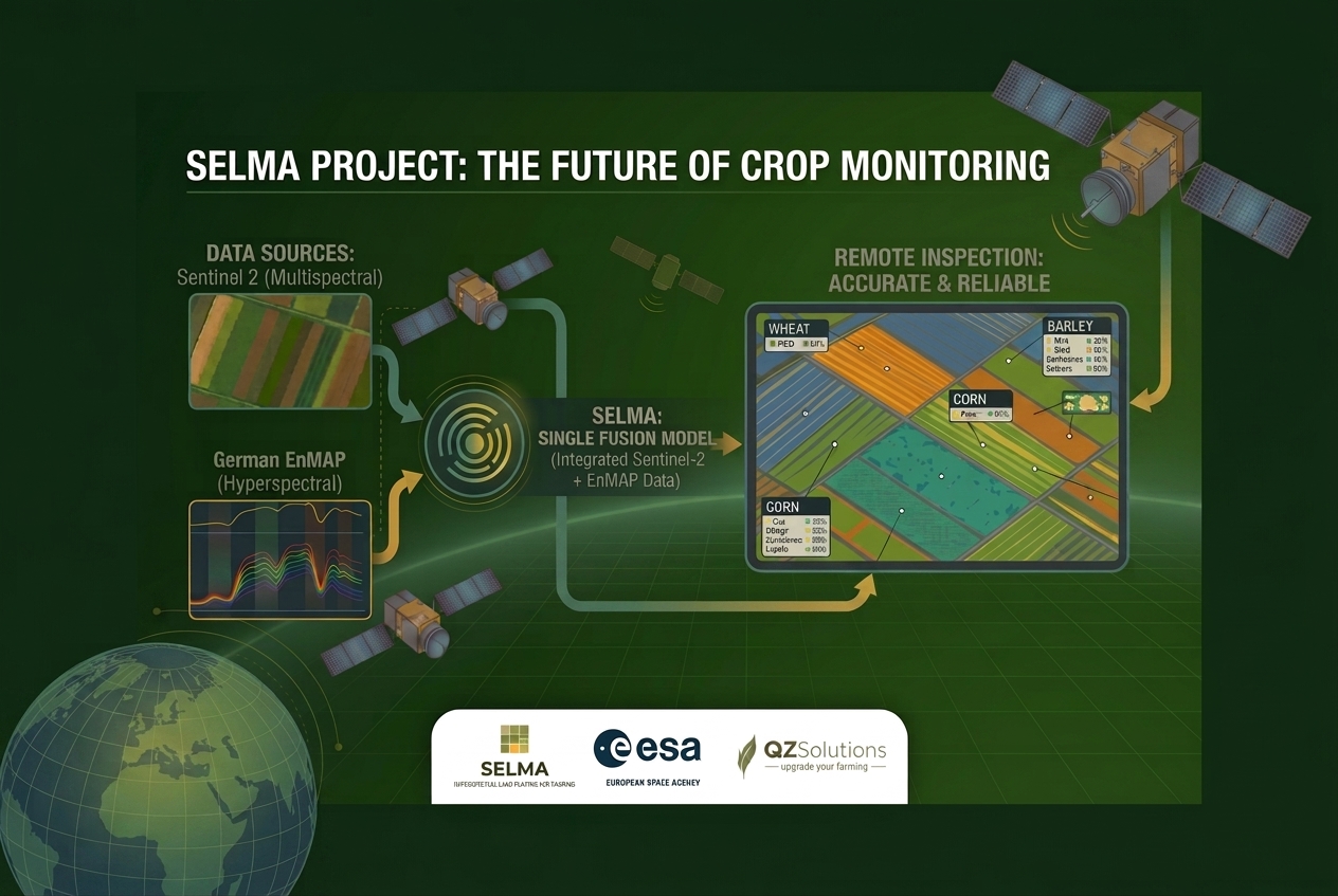
Recognizing what crop grows on a given plot from satellite imagery sounds simple, but in practice it is one of the hardest problems in Earth Observation. Standard multispectral data from the Copernicus Sentinel-2 satellite often struggles to classify crops reliably. Two crops with a similar canopy color, such as wheat and barley at certain growth stages, are hard to tell apart from reflectance values alone. With co-funding from the European Space Agency (ESA), and building on hyperspectral imaging, as in all our projects, we are launching a project to make that classification meaningfully more accurate.
We named it SELMA – Sentinel-2 and EnMAP Land cover Mapping for Agriculture. It combines multispectral data from Sentinel-2 with hyperspectral data from the German EnMAP satellite mission in a single model. EnMAP captures far more spectral details than Sentinel-2. SELMA builds on our experience in hyperspectral imaging and modelling.
Why it matters
Knowing exactly what is growing on a given plot underpins the land monitoring systems public institutions use to track agricultural land use. The higher the accuracy of automated classification, the fewer on-site inspections are needed, which lowers costs and staff time for those institutions, which is especially important for EU’s Common Agriculture Policy direct payments. ARiMR, Poland’s Agriculture Restructurisation and Modernisation Agency, is one of the official stakeholders in this work.
This feasibility study will show whether SELMA can deliver crop maps together with classification confidence metrics for each plot, a foundation for a future service for institutions responsible for agricultural monitoring as well as commercial bodies interested in the matter. Where the model is confident, an inspector could rely on the map directly. Where it is not, that plot would get flagged for manual review.
Track record
QZ Solutions has worked in Earth Observation for agriculture since 2018. Our existing crop classification work covers 136,000 ha across 870 fields over 10 growing seasons, in 6 countries. We were among the first users of the PRISMA and EnMAP hyperspectral satellites, and we have run hyperspectral field measurement campaigns every season since 2018, using field spectrometry (ASD FieldSpec 4).